Current Projects
Members of the SPAR Lab are working to solve a diverse set of GIScience research problems. We find ways to improve the wellbeing of both people and the planet by analyzing spatial patterns and data.

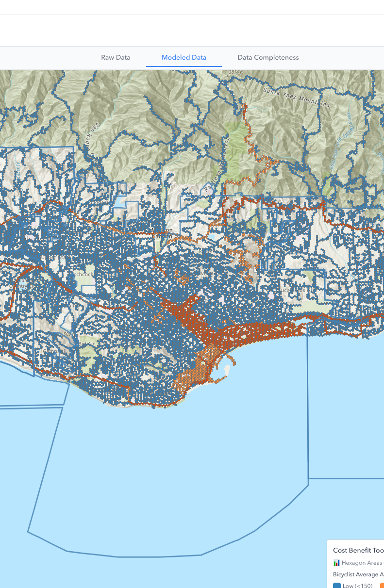
Active Transportation Dashboard
In Santa Barbara County, there is a lack of consistent and available data on walking and bicycling, which may be limiting our ability to support and/or monitor projects that reduce VMT. We’re working to develop a SB County Active Transportation Data Dashboard that will be built on novel bicycling and pedestrian data sets, will inform planning, provide data for grant applications, and enable monitoring of programs that aim to reduce vehicle miles traveled (VMT). Our project to develop a SB County Active Transportation Data Dashboard will reduce VMT by supporting pedestrian and bicycle infrastructure projects and related programs that are necessary for transportation behavior change.

Electric Bicycles
Bicycle deaths in the US are increasing and there are questions about how the onset of electric bicycling, or e-bicycling, may be contributing to more injury and death. We’re developing an evidence-based data dashboard to reduce e-bicycle deaths and injuries to pilot in Santa Barbara County. Our goal is to reduce e-bicycling related deaths/injuries by collecting data, generating knowledge, and deploying tools needed for evidence-based advocacy and decision making aimed to improve e-bike safety.

Crowdsource Data Bias Correction
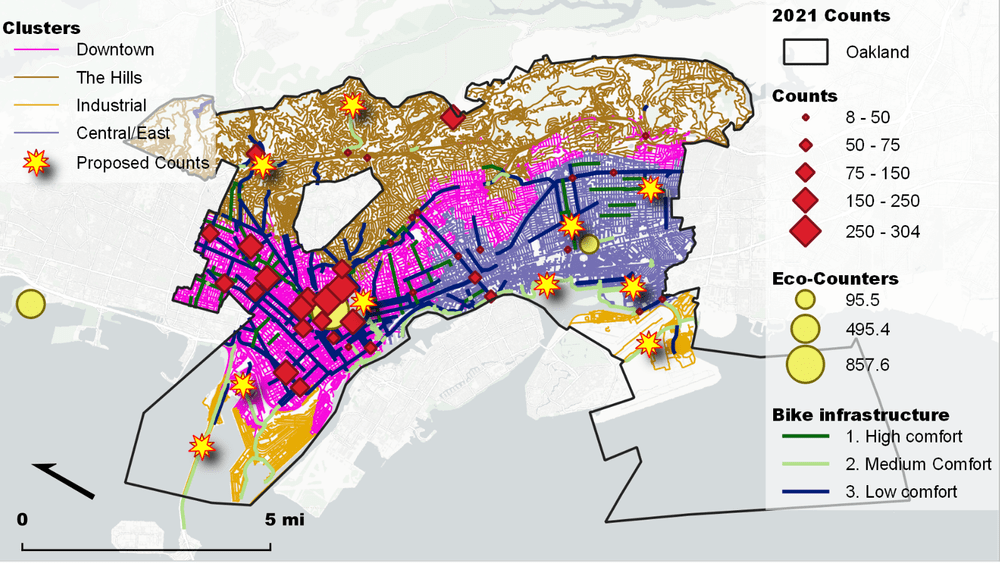
Big and crowdsourced data are often biased, as data come from people with access to technology. Underserved communities can be further marginalized if we used biased data for decision making. Our team is developing methods to correct bias in crowdsourced data. Using statistics and GIS we integrate data sets and create new data that have the representativeness of official data with the spatial and temporal detail of crowdsourced data. For example, we map bicycling ridership using Strava data, official counts of all bicyclists, and GIS variables.